GNSS and Adding an IMU to your Survey Rover

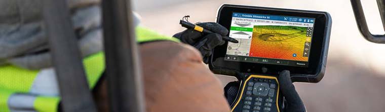
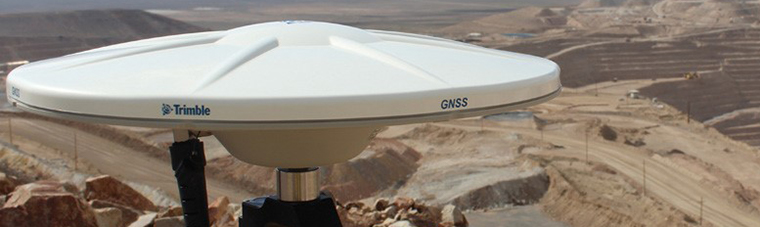
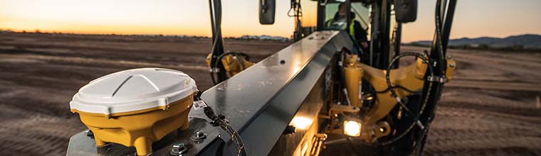
Two things have happened recently that will dramatically change the way your GPS rover works.

First, there are completely new GNSS capabilities from new satellites, new GPS systems, and new types of radio signals coming from space. Second, Inertial Measurement Unit (IMU) was added to the Trimble SPS survey Rover.

Read more

Troubleshooting for SPS Bluetooth

How to connect Bluetooth receivers is one of the most frequent support calls SITECH Southwest receives. The Bluetooth functionality in both Siteworks and SCS900 is managed by the Windows 10 operating system.

Read more

Corridor Staking with SPS

With the variables and nuances of constructing a corridor, collecting data in the most proficient and comprehensive way is crucial. In this article we go over components and stake features that are both required when using an SPS controller and helpful in executing your data.

Read more

Drones (UAV) for Commercial Use

Have you become dependent on your UAV?

Flying drones for survey and mapping is becoming standard practice for engineers. What happens when your organization is suddenly dependent on the data your drone generates?

Read more

Coordinate Systems 101

The basics of dealing with coordinate systems.

I conduct a lot of survey training for construction and mining clients. In every class I usually start off with a “Coordinate Systems 101” lesson. This is something most clients struggle with.  I find that there are a lot of people running GPS survey and machine control systems that may not have a basic understanding for how the coordinate systems relate to their jobsites. There are also experienced surveyors that tend to make these topics overly complex for most people trying to understand the basics. Here are some basic coordinate system rules for clarity.

Read more

Drones (UAV) for Mining 101

Often the most misunderstood but probably the most powerful use for flying drones is survey and mapping. Additionally, if you were to pick the perfect place to use UAV technology it would be a mine as drones allow you to cover larger areas of earth that are constantly changing.

Read more