The R750 Model 2 incorporates the latest industry-leading positioning technology from Trimble and a full suite of modern communications capabilities in a rugged, modular package that can be deployed anywhere.
The Trimble® R750 Model 2 is a GNSS modular receiver typically used as the primary RTK Base station for any construction/survey project requiring precise positioning for rovers and Trimble machine control systems.
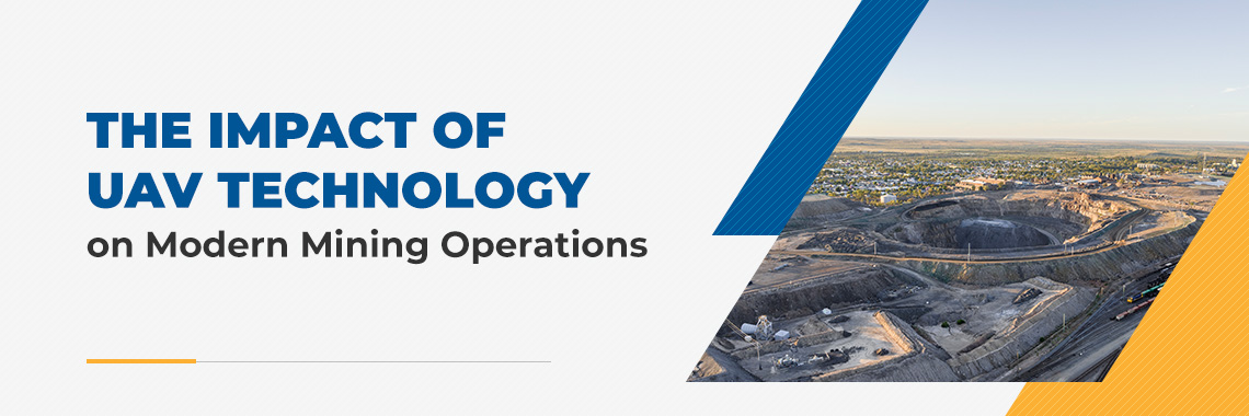
Unmanned Aerial Vehicle (UAV) technology is impacting many industries, including mining operations. UAVs, also referred to as drones, are aircraft that can fly without onboard piloting by humans. They can navigate the skies via remote control or autonomously through the implementation of preprogrammed flight plans.
Many companies are now using or planning to integrate drones into mining operations to improve productivity, safety and data accuracy. The strategic implementation of this innovative technology could also help these businesses gain a competitive edge by supporting the efforts of the personnel in the field.
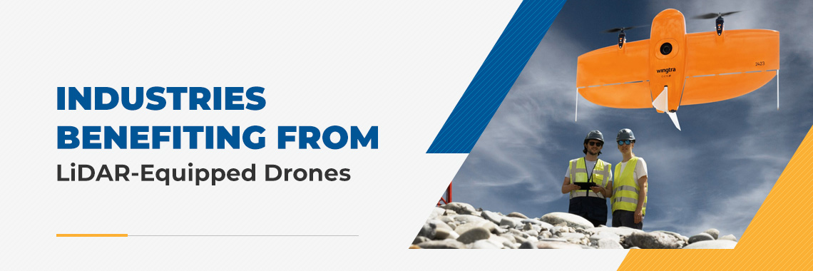
Light detection and ranging (LiDAR) technology has changed how we perceive and interact with the environment through exceptional accuracy in mapping and measuring. In some cases, integrating LiDAR sensors with drones has enabled crews to reduce weeks of rigorous fieldwork into only a few hours. This technology is one of the most important advancements in surveying over the past several decades.
The demand for LiDAR-equipped drones continues to increase across various industries as businesses recognize their ability to reduce costs while delivering superior data quality. From agriculture and construction to mining and quarrying, these solutions have become critical tools for organizations wanting to stay on pace with the competition.
Minimizing downtime in construction is critical to meeting deadlines, managing costs, achieving overall project success, enhancing brand reputation and earning repeat work. With construction projects typically involving interconnected activities, even minor disruptions can have a significant effect, impacting the entire operation. To avoid costly interruptions, industry professionals implement construction downtime solutions like advanced technology, preventive equipment maintenance and operator training.
As a contractor, you know the difficulty of relying on eyesight to level your earthmoving project. For you to build a solid foundation, the ground beneath it has to be adequately compacted and leveled. But from the seat of a dozer or motor grader, it’s not easy to tell if the site is at the proper grade.
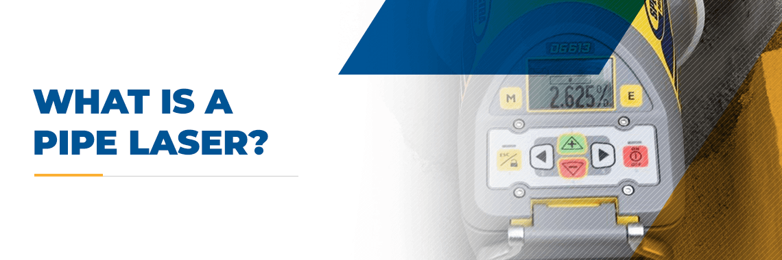
The construction of underground pipes and tunnels requires careful planning and excavation. Pipes have to maintain a consistent grade along the length of the system. Crests and valleys in the pipe system can block or slow down the liquid flow inside, resulting in clogs that can be expensive to fix. To accurately set the grade of a pipe run, underground contractors use a piece of equipment called a pipe laser.
A pipe laser is a type of construction laser that is used to measure and determine the correct grade for pipes. Pipe lasers are used as a sort of electronic level. Essentially, this equipment shoots a high-powered beam of light at a predetermined angle to establish the appropriate grade of a construction project. In this guide, you can learn more about what a pipe laser is used for, how to use it and the types of pipe lasers available.
Team collaboration in the construction industry can boost morale, ensure the timely completion of tasks and maintain costs within the set budget. Collaborating also increases the chances of project success, strengthens brand reputation and positions you to receive repeat work.
While enhancing teamwork is vital to any project, it can be challenging to do so in the construction industry. With some teams working in the office and others in the field, getting everyone on the same page is difficult. Your company can also overstretch its resources when managers must travel from site to site to supervise tasks.
We highlight the latest advancements and time saving features in Trimble Business Center office software. This release is available to all users with a current TBC subscription and for users with a perpetual license warranty date of November 1, 2024 or newer.
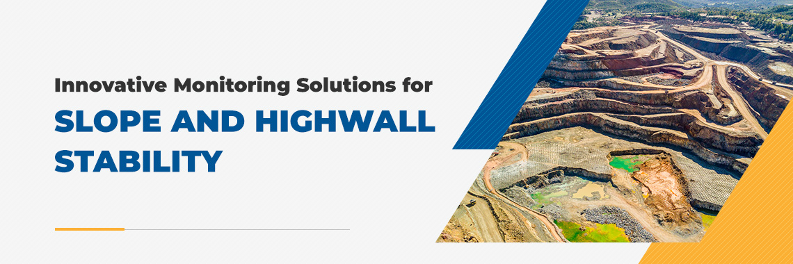
Maintaining slope and highwall stability is crucial in mining operations. Unstable inclines can result in accidents and serious injuries, making it vital to restrict operations to stable areas.
Advanced monitoring solutions such as drones and smart sensors improve mining operations with real-time information about rock face stability. They collect accurate topographical data that mining professionals use to inspect areas before starting work. These technological advancements deliver real-time insights to help workers make more informed decisions and increase mining efficiency.
Today, companies consider wireless networks to be integral to the mining industry because they enable real-time communication and enhanced safety. For this reason, reliable connectivity is key.
Explore how implementing the right solution for effective communication and data exchange during mining can transform these operations.