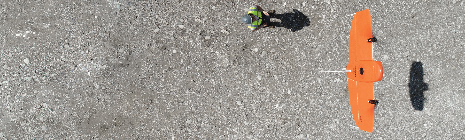
Here at SITECH Southwest, we have a museum of drones hanging from our ceiling. It all starts at the door. As you walk from the front to the back, drones are ordered from old to new. Entering you will see larger, older, more complex, more expensive, and Ph.D. required drones. And as you walk toward the back of the building you will notice an evolution, ending with the newest drones on the market.
These ones are easier to fly, less expensive, and include new abilities for consistent and accurate results. They really do outperform older drones in every way.