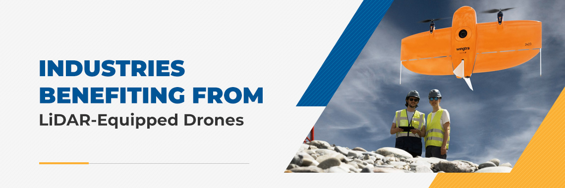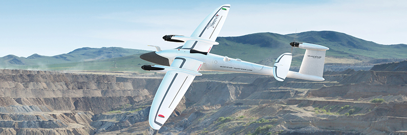
Unmanned Aerial Vehicle (UAV) technology is impacting many industries, including mining operations. UAVs, also referred to as drones, are aircraft that can fly without onboard piloting by humans. They can navigate the skies via remote control or autonomously through the implementation of preprogrammed flight plans.
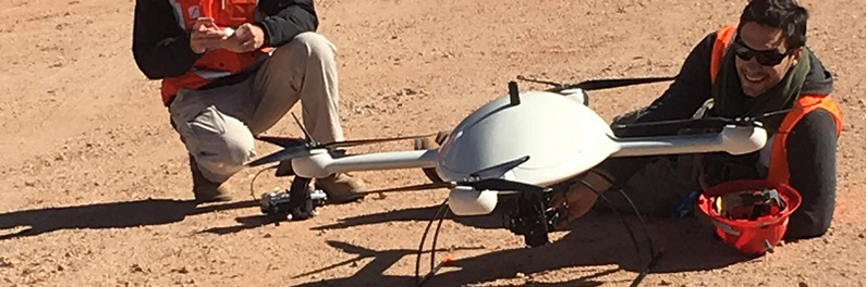
Many companies are now using or planning to integrate drones into mining operations to improve productivity, safety and data accuracy. The strategic implementation of this innovative technology could also help these businesses gain a competitive edge by supporting the efforts of the personnel in the field.