I have been getting quite a few questions about what I call “Static” surveys since drone mapping has become a major part of many surveyor’s toolbox. I will start by describing the general concept of why you would want to use a Static base station. I will then describe how it works and finally get into some recommendations and specifics.
JUMP TO SECTION
 General Concept
The idea is to use high precision GPS positions to augment the photogrammetry process of your mapping drone. All drones have GPS but most are only capable of sub meter precision. Today many new mapping drones are coming with the capacity to store raw high precision GNSS data while flying. This enables us to process the drones raw GNSS data against a static base station to improve accuracy. In doing this the location of the drone’s pictures are updated to be within centimeters relative to the mapping projections. This really tightens up the photogrammetry process and lessens the need for as much ground control while providing better accuracy of the surfaces being measured.
How does all this work?
A general overview…
Step one – Buy a drone that can store static GNSS data.
Step two – Set your GNSS Base on a know control point near your flight area and set it to store static GNSS data.
Step Three – Plan and fly your mission. As the drone flies it is also storying static GNSS data just like the base station.
Step Four – Download the log file from your drone and base station. Process Base GNSS data against Drone GNSS data to update drones’ positions to high precision.
Our Experience
We have been highly successful using, selling and helping our customers implement GNSS post-processing for drone mapping. A couple of the systems we recommend are listed here:
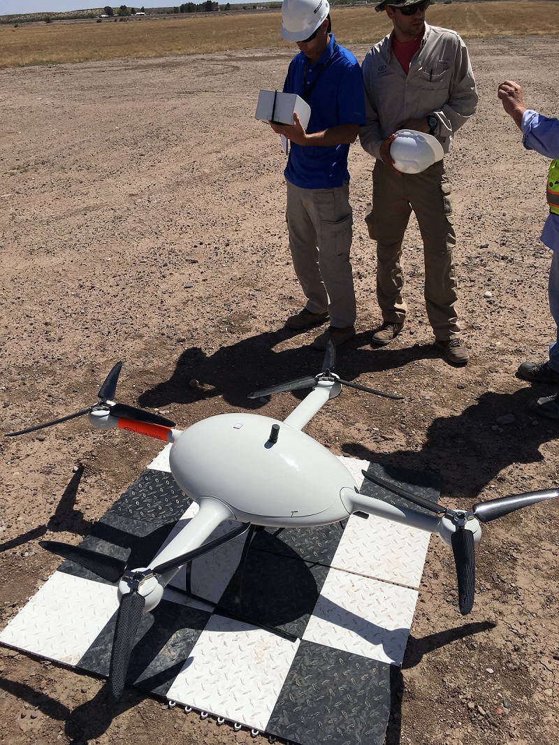
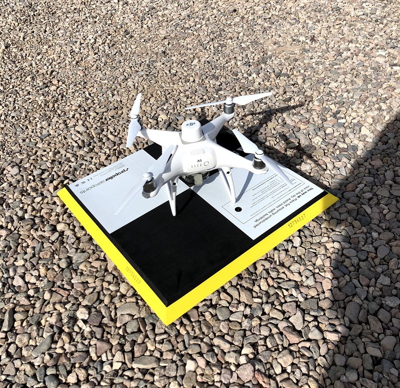 Trimble Stratus & DJI Phantom 4 RTK drone use AeroPoints as the GNSS Static base station. The AeroPoint has a GNSS base station built into the target. To use this system you simply set the AeroPoint on your control point and turn it on. It starts storing raw GNSS data. You then go fly your mission making sure that the active AeroPoint is seen from the drone as if flies above your site. Once the Phantom 4 RTK drone lands there are 3 steps to getting your survey done.
- Upload the static data from the AeroPoint to Trimble Stratus.
- Upload the images from the SD card from the drone to Trimble Stratus.
- Wait for Processing and then go to the Trimble Stratus/Propeller web site to download results, analyze, run reports, and share survey. (https://www.propelleraero.com/)
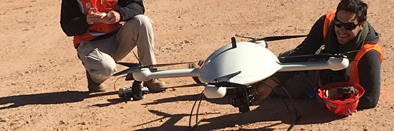
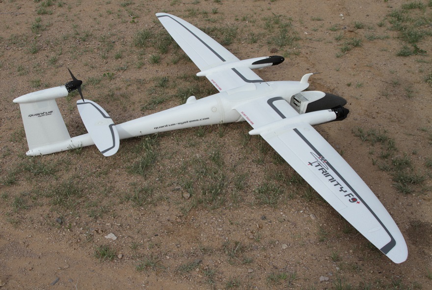 Quantum Trinity F90+ is a fixed wing drone with vertical takeoff and ability to fly for up to 90 minutes per battery. Flying for 90 minutes mean this thing can cover some ground, … ground like 1600 acres per flight. How do you do this?
- Survey in targets for your flight. It is recommended when having such a big area to survey that you throw down a few aerial targets. I like to have 5 targets for big flights.
- Set base station over known point storing static GNSS data.
- Plan flight & upload to the drone using Qbase software from Quantum.
- Fly mission.
- Mission complete download log file from drone & base station.
- Use Qbase to process the high precision GNSS base station data against the drones GNSS data and then geotag your images.
- Upload to Trimble Stratus or use your own processing software like Pix4D.