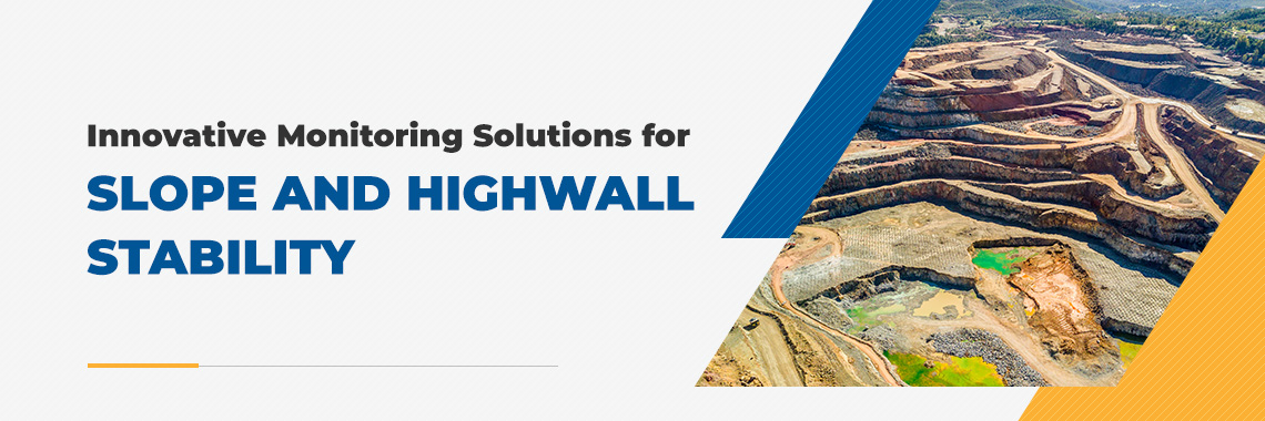
Maintaining slope and highwall stability is crucial in mining operations. Unstable inclines can result in accidents and serious injuries, making it vital to restrict operations to stable areas.
Advanced monitoring solutions such as drones and smart sensors improve mining operations with real-time information about rock face stability. They collect accurate topographical data that mining professionals use to inspect areas before starting work. These technological advancements deliver real-time insights to help workers make more informed decisions and increase mining efficiency.
JUMP TO SECTION
Understanding Slope and Highwall Stability
Safe mining relies on slope and highwall stability, as instability or shifting can cause dangerous situations such as landslides. Effective monitoring helps workers avoid potentially dangerous areas and prevent accidents.
Today’s miners achieve more efficient and accurate surveying to monitor stability, identify deformations and measure displacement. Advanced highwall stability solutions provide field personnel with the tools to gain continuous monitoring capabilities.
Innovative mining technologies involve advanced devices, such as drones and sensors. These tools monitor for signs of instability or movement in steep earth structures. They predict unstable conditions and alert workers before potential dangers arise.
Advanced Monitoring Solutions
Modern excavation face monitoring solutions deliver the following capabilities:
- Real-time data collection: Advanced slope stability monitoring technology consists of modern sensors, automated imaging and Internet of Things (IoT) devices. These innovations collect and transmit real-time data and continuous safety insights for miners and equipment operators.
- Predictive analytics: Modern monitoring solutions also use machine learning and analytics to predict potential slope failures, giving teams enough time to move workers and equipment to safe ground if necessary.
- Remote monitoring: You can use wireless sensors in hard-to-reach areas. This advantage makes it easier to mine on challenging terrain.
Broader Implications of Real-Time Data and Mining Safety
Real-time data and remote monitoring systems for mining applications offer the following advantages:
Reduced Risks and Enhanced Safety
Continuous information about excavation face stability informs workers about jobsite conditions. They can avoid unstable sections or move to safe areas when a slope becomes unstable. Modern monitoring solutions significantly reduce the risk of accidents and injuries, helping workers feel more secure on the job.
Today’s monitoring technology also makes inspection processes safer. Drones and sensors eliminate the need to manually enter and examine unstable zones.
Increased Accuracy and Greater Decision-Making
Real-time data monitoring provides timely, accurate information about the state of slopes and highwalls. Precise data eliminates guesswork and helps site managers and workers make informed decisions.
Operational Efficiency
You can increase efficiency across mining jobsites by anticipating and mitigating stability complications. Advanced monitoring equipment collects topographical data much faster than you could with manual methods, helping you keep projects on schedule. With predictive analytics mining equipment, your team can avoid potential problem areas and spend more time focusing on stable excavation faces.
Greater Return on Investment
New monitoring technologies can help you reduce costs and increase your return on investment (ROI). Enhanced operational efficiency, accident prevention and lower insurance premiums help reduce overhead costs and increase your profit margin.
Compliance
Global positioning systems (GPS) provide clear boundary definitions. With GPS capabilities, you can ensure your company’s work remains within legal boundaries and complies with lease agreements. This precaution prevents legal disputes and associated costs.
Technologies Driving Innovation
Technological advancements have significantly transformed the mining industry. You can strengthen your safety measures and boost efficiency with these innovations:
Drone Surveillance
SITECH offers cutting-edge drone surveillance products from industry-leading manufacturers such as DJI and Wingtra. You can choose from a wide selection of drones and unmanned aerial vehicles (UAVs) with features such as:
- Highly customizable cameras
- Heavy payload capacities
- Ability to fit in tight spaces
Smart Sensors
Smart sensors use various types of technology to measure topography. They create 3D maps of a mine site’s elevation and surface features. You can choose a smart sensor with one of the following technology types:
- LiDAR: Light detection and ranging (LiDAR) technology uses lasers to measure topography. When you attach a LiDAR sensor to a drone, it scans your mining location’s surface and measures how long a laser takes to bounce back. This data reveals elevation hazards such as unstable slopes, cave-ins and falling rocks.
- Photogrammetry: Photogrammetry uses overlapping photos from different angles to create 3D measurements and mine site maps. Photogrammetric sensors can catch fine details such as undercuts and rough rock faces.
- Multispectral: Multispectral sensors reflect light off of surfaces to identify and map different materials. You can use this technology to map subtle terrain variations and map mineral deposits across a mine site.
- Robotic Total Station: Total station programmed to routinely measure and report on strategically placed high wall prisms to predict and alert on movement.
Trimble 4D Control
Trimble 4D Control is a comprehensive structural integrity monitoring solution which offers a high level of compatibility and delivers unparalleled details and information with complete sensor management that enables you to customize and add instruments, sensors and functionality as your project needs to change and expand. Trimble 4D Control can handle the challenge of complex monitoring projects with tools to create visual results for rigorous analysis and alerting. A Trimble 4D Control installation lets you detect displacement or movement in natural structures or manmade structures. It provides the data you need to understand the speed, direction and magnitude of any motion. The T4D Control suite is the core of your monitoring project. It controls the measurements, manages and analyzes the data, and provides decision support.
You can easily integrate smart sensors with geographic information systems (GIS) to analyze spatial relationships and create detailed maps.
Emesent Hovermap
Emesent Hovermap is one of the best monitoring options for mining applications. It rapidly captures highly detailed, accurate data using the latest LiDAR technology. This dependable device provides unmatched coverage you can depend on.
Precision Survey and Positioning Solutions
GPS technology ensures precise equipment and infrastructure placement, increasing site layout accuracy. GPS capabilities also make it easier to track and measure digital information.
Challenges and Solutions in Implementing Monitoring Systems
Harsh environmental conditions, human error, limited wireless connectivity and inaccurate data analysis are the most common monitoring system challenges. You can overcome these problems with the following strategies:
- Invest in robust drones and sensors: Industrial-grade drones and sensors can handle harsh environments. They enable you to collect data in challenging conditions.
- Weatherproof your drone: Use dust-resistant enclosures, silicone-based coatings and specialized seals on your drone. These solutions help protect your drone from dust, moisture and humidity.
- Provide comprehensive training: Advanced technology often has a learning curve. Comprehensive training ensures your team can use monitoring equipment to collect accurate data.
- Use mesh networking or satellite: Mesh networking or satellite communication provides reliable connectivity in remote areas. Using one of these options helps your monitoring equipment work when your wireless connectivity is limited.
- Use data aggregation platforms: Data aggregation platforms organize and simplify complex data. Well-organized data can help you make faster, more accurate decisions.
Future Trends and Innovations
These emerging trends help mining companies analyze and understand data better when using monitoring technology:
- Artificial intelligence (AI) and machine learning: AI and machine learning advancements identify patterns, make predictions and improve operational performance. This technology enhances a smart sensor’s accuracy and ease of use.
- Augmented reality (AR): AR technology enhances data visualization in mining applications. It enables professionals to perform up-close terrain assessments and may also help simulate hazardous scenarios to train and prepare workers.
Improve Slope and Highwall Monitoring With Innovative Solutions
Excavation face stability is vital for worker safety. Traditional stability monitoring methods relied on inaccurate, time-consuming visual inspections. Today’s technology offers outstanding solutions to improve safety and efficiency.
Innovative slope and highwall monitoring solutions enhance mining operations with real-time, accurate insights. You can deploy drones in hard-to-reach spaces and depend on smart sensors to collect precise data about rock face stability. SITECH Southwest offers cutting-edge drones from leading manufacturers such as Wingtra and DJI. Our products feature state-of-the-art smart sensors and GPS capabilities for precise insights. We are passionate about bringing you the latest solutions for mining stability and safety.
Continuous innovation and improvement are crucial in the mining industry. Contact us to learn more and use advanced technologies for safer, more efficient operations.