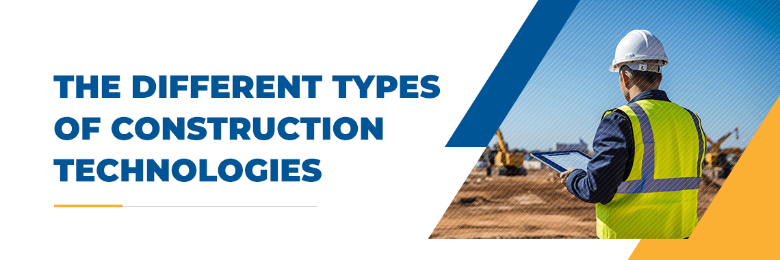
Trimble Construction and Mining Road Show is coming to Mesa!

Come spend the day learning about Business Center with Certified Trimble instructors at the Empire CAT Mesa campus, May 24th 2012. Admission is free!
This will kick off the first of the monthly training sessions.

Click here to register!!

Posted in SITECH | Leave a comment
New Trimble RTK Rover, tougher than tough!
Tougher than Tough!

Trimble's new Full GNSS rugged RTK rover!

The SPS985 is the smallest and toughest GNSS receiver Trimble has ever built. With its enhanced internal shock isolation, the SPS985 is built for high-vibration use on an all-terrain vehicle (ATV), quad bike or supervisor truck. User-friendly features such as integrated Wi-Fi and wideband radio communications, quick release connector, and smart phone configuration make it easy to use as a pole-mounted rover or base station

Posted in SITECH | Leave a comment
Quick Start Total Station Setup

Many of the mines have found using a Trimble total station with SCS900 is the safest and most productive way to map mine progress. Any of these new instruments with the “DR+” can shoot several thousand feet without a reflector. All this means measuring accurately without endangering surveyors while doing it with more accuracy and speed. To download the quick start guide click here     SCS900tt2

Posted in SCS900, SITECH | Leave a comment
Huge solar storm risks GPS

Solar storm hits Arizona,..Click here to read more.

Posted in SITECH | Leave a comment
Trimble Business Center

Business Center – HCE is ideal for preparation and management of data for Mining Progress and haulroad design.

Business Center is replacing Terramodel!

  • Field data management with Trimble SCS900 intagrated into Business Center
  • Data preparation for machine control and site positioning systems
  • Quantities takeoff and cost estimating
  • Construction planning and scheduling using site and corridor mass haul
  • 3D visualization using multiple surfaces, corridors, textures and images
  • Adobe® PDF importing and onscreen digitization
  • Integration with Connected Community facilitates file sharing and data visualization

The Core Product for field data management and transfer is available as a free download. Add-on modules extend the functionality of the Core Product and are available for puchase from SITECH Southwest.  For a limited time you can download the full version.

Posted in SITECH | Leave a comment
TSC3 Sticky Keys

Trimble has a solution for the TSC3 “sticky Keys”.
Visit the following link and click on downloads, then trimble tablet and controller system updates and then TSC3.

http://www.trimble.com/construction/heavy-and-highway/scs900.aspx?dtID=support

Download and copy the CAB file to the my device>windows folder on the TSC3 and then on the TSC3 tap on the cab file and it will install. It specifically addresses the stuck keys issue.

Posted in SCS900, SITECH, Survey and Mapping Field Procedures | Tagged , | Leave a comment
GPS Tutorial

Trimble has a great GPS tutorial at http://www.trimble.com/gps/index.shtml,…. check it out!

Posted in SCS900, SITECH, Survey and Mapping Field Procedures | Leave a comment
Trimble Certified Training

November 30th & December 1st the first Trimble systems Mining training will take place in Bagdad, AZ at the mine. This is for Bagdad personnel only. It is part of the Trimble support program being offered to the mines. Support covers everything from firmware to certified training.  Contact Michael Maier for more information  602-513-6760 or mmaier@sitechsw.com

Posted in SITECH | Leave a comment
How & Why to use a GEOID with SCS900

Creating a local site in SCS900 is simple enough, but if your site is covering more than 12 miles you may want to load a GEOID model. The following video shows what a GEOID is and how to use it.

Posted in Business Center, SCS900, SITECH, Survey and Mapping Field Procedures | Leave a comment
Update your Firmware!

GPS receivers are computers with clocks that use radio waves to measure distance.  Because your receiver is communicating with other computers that are flying around the earth at 13,000 miles in space ( satellites ) the current version of “firmware” between receiver and satellites is very important. If you want your receiver to lock in quick and reliable you need to keep the firmware updated.

How to update your receiver?

Go to the Trimble web site (www.trimble.com) and under the SUPPORT & TRAINING drop down open the Support A-Z List. Find your receiver listed and download the latest version of firmware.

Along with the firmware a program called “WinFlash” will be installed on your computer.

Use WinFlash to connect to your desktop computer to your GPS receiver.

WinFlash Program

Choose a com port on your desktop computer and connect a serial (db9) cable from computer to receiver.

Choose Device and hit Next.

Verify receiver options and  then upgrade your receiver.

Posted in SITECH, Survey and Mapping Field Procedures | Leave a comment